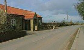
Liverton Village
Liverton Village is named in the Doomsday / Domesday
book (a manuscript record of the "Great Survey" of much of
England and parts of Wales completed in 1086 by order of
King William the Conqueror) and was previously named Liureton, it is a rural village that has by-enlarge retained its heritage as a farming community and in 1978 became protected by a conservation order.
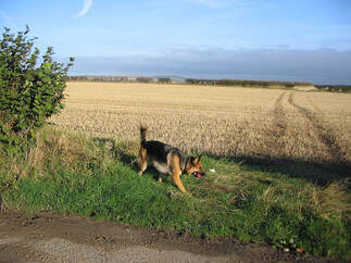
The village is surrounded by a field system with Station Road B1366 running through the middle. The village can date its roots back to the 12th century, with evidence of this seen from the font, arch and doorway of St Michaels church.
It is located 140 meters above sea level and is located on the edge of the North Yorkshire Moors.